Exploring Earth's interconnected systems through GIS, Remote Sensing, and scientific visualization
From ocean temperatures to atmospheric rivers, from vegetation patterns to human communities — this is a living record of how Earth's systems connect, influence, and sustain each other.
The Research
Earth's systems are not separate. They are one continuous conversation.
The ocean warms. The atmosphere responds. Rainfall shifts. Vegetation changes. Water moves. Communities adapt. Each system speaks to the next in a chain that circles the planet. My work is to listen — and to map what I hear.
Through satellite remote sensing, geographic information systems, and Google Earth Engine, I trace these connections from the top of the atmosphere to the roots of the soil. The result is not a collection of isolated projects, but a single evolving story about how Earth works.
Earth Observation
Satellite missions that measure our planet every day, from ocean temperature to canopy health.
GIS & Spatial Analysis
Geographic information systems that turn raw data into spatial understanding and answers.
Scientific Storytelling
Communicating complex Earth science as clear, visual narratives that anyone can follow.
The Centerpiece
Living Earth: an ongoing research initiative
Research Projects
GIS and Earth Observation projects
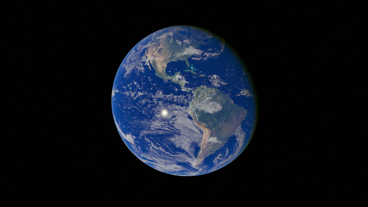 Earth Observation
Global El Niño Monitoring
Pacific SST anomalies and Indian Monsoon teleconnections
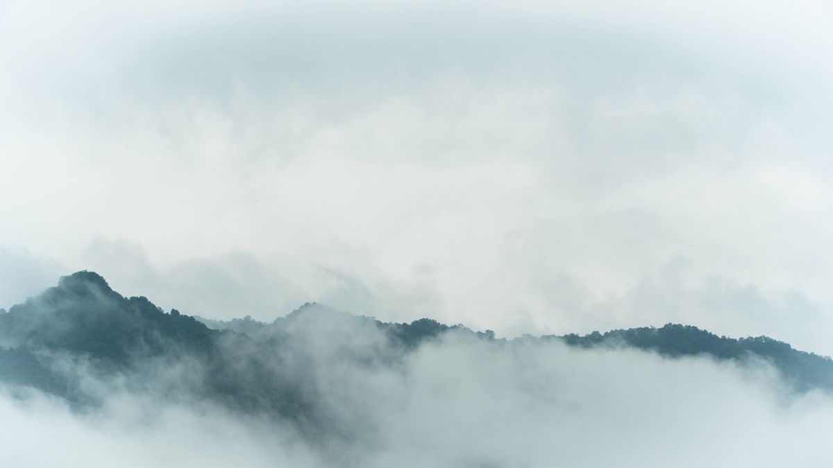 Earth Observation
Earth’s Water Highways
Seasonal atmospheric moisture transport visualization
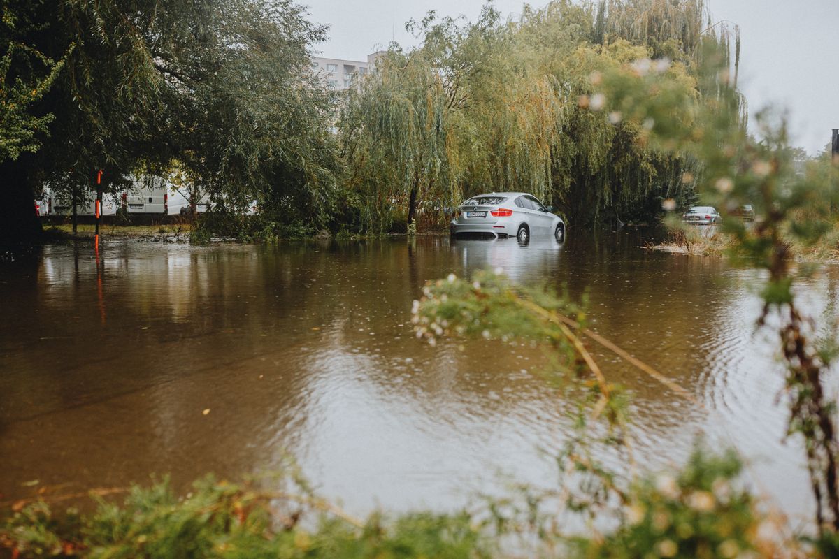 GIS Analysis
Hyderabad Flood Mapping
Spatial analysis of urban flood inundation
Writing
Published technical articles
Every dataset tells a story about our planet. Let's read them together.
Explore the Living Earth initiative, browse research projects, or get in touch about collaboration.