Living Earth
An Earth Observation initiative exploring how Earth's interconnected systems function using GIS, Remote Sensing, Google Earth Engine, Python, AI, and Geospatial Analysis. This is not a collection of projects — it is one continuous story about how Earth's systems connect, influence, and sustain each other.
Vision
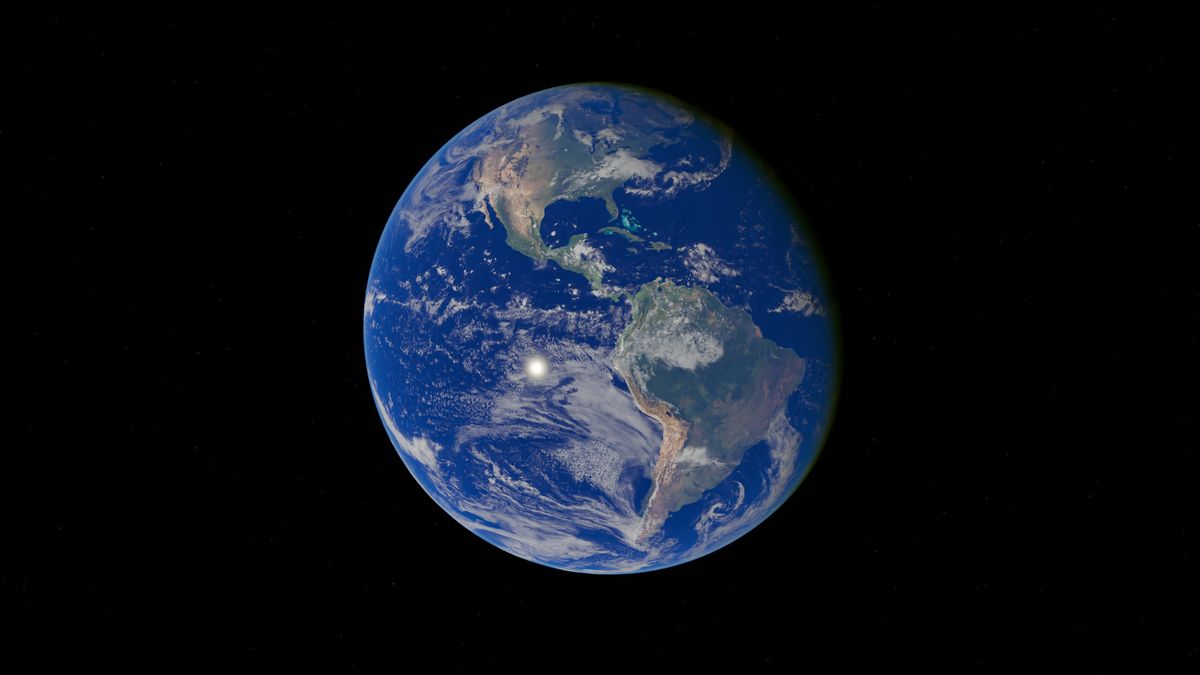
To see Earth not as isolated parts, but as one living system.
Modern science often studies Earth in fragments — the ocean here, the atmosphere there, the biosphere somewhere else. But Earth does not work in fragments. Every part is connected to every other part through flows of energy, water, carbon, and life.
Living Earth is my attempt to document these connections through a series of research episodes. Each episode focuses on one system, but always in relation to the next — tracing the thread from the warmth of the ocean to the resilience of human communities.
Mission
Use satellite data and geospatial analysis to answer scientific questions about Earth.
Every episode follows the same approach: identify a scientific question, find the right satellite dataset, build a reproducible workflow in Google Earth Engine or Python, and communicate the results as a clear, visual story.
The mission is not just to make maps, but to answer questions: How does El Niño affect the Indian Monsoon? Where do atmospheric rivers carry water? How does vegetation respond to changing rainfall? Each answer adds one more piece to the picture of Earth as a connected system.
The Thread
Every system links naturally to the next
Follow the chain from the heat of the ocean to the systems that sustain human life.
Episodes
Completed research
Global El Niño Monitoring
El Niño is a periodic warming of the central and eastern equatorial Pacific that disrupts global weather patterns. This episode traces how sea surface temperature anomalies propagate through atmospheric teleconnections to influence the Indian Monsoon — affecting rainfall, agriculture, and water security for over a billion people.
2025

Earth’s Water Highways
Atmospheric rivers and moisture flux transport vast quantities of water vapor across the globe. Using ERA5 Reanalysis data processed through Google Earth Engine, this episode maps these invisible corridors and their seasonal patterns — revealing how the atmosphere moves water from ocean to land.
2025
Upcoming Episodes
Planned research
These episodes are planned as future research. No pages yet — just the vision of what comes next.
Rainfall
The pulse of the land
Coming SoonVegetation
The green mirror
Coming SoonHydrology
Water across the land
Coming SoonLand Surface Temperature
Heat across the terrain
Coming SoonGeosphere
The solid Earth
Coming SoonHuman Systems
Where Earth meets society
Coming SoonRoadmap
Where the initiative stands today
Phase 1 — Foundation
Episodes 01–02: Ocean temperature, El Niño, and atmospheric moisture. Establishing the physical basis of the climate chain.
Phase 2 — Land Response
Episodes 03–04: Rainfall and vegetation. How the atmosphere delivers water and how ecosystems respond.
Phase 3 — Human Connection
Episodes 05–08: Hydrology, land surface temperature, geosphere, and human systems. Where natural systems meet society.
Research Philosophy
Science should be open, connected, and honest about what it does not yet know.
Open by default
Research built on open data, open source tools, and open communication of methods and results.
Systems thinking
No system studied in isolation. Every episode connects to the next, forming a coherent picture.
Honest uncertainty
Every finding comes with its confidence interval. Uncertainty is not a weakness — it is the shape of knowledge.
Reproducibility first
Every workflow documented, every dataset cited, every result verifiable by anyone who follows the path.