Research
GIS and Earth Observation projects
A collection of projects built using Google Earth Engine, QGIS, Remote Sensing, and Python. Each project applies spatial analysis and satellite data to answer a scientific question about Earth's systems.
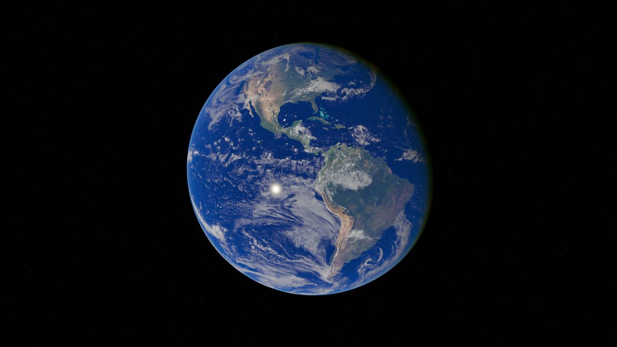
Global El Niño Monitoring
Investigating how Pacific Ocean sea surface temperature anomalies influence Earth’s climate and the Indian Monsoon using NOAA OISST and Google Earth Engine.

Earth’s Water Highways
Visualizing seasonal atmospheric moisture transport using ERA5 Reanalysis and Google Earth Engine to understand Earth’s invisible water highways.
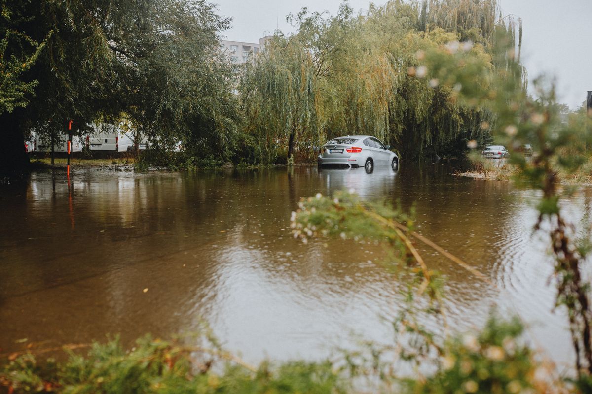
Hyderabad Flood Mapping
Mapping flood inundation extent and affected zones in Hyderabad using satellite imagery and GIS spatial analysis techniques.
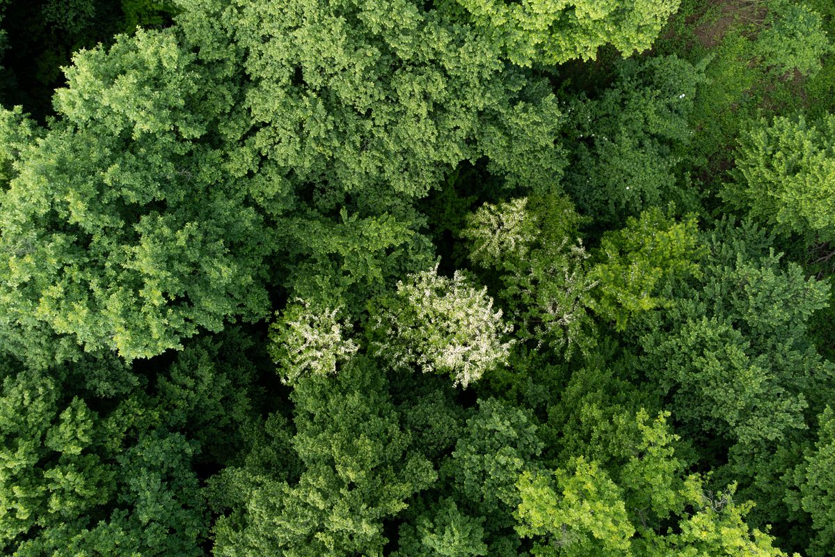
NDVI Vegetation Analysis
Analyzing vegetation health and density using NDVI derived from satellite imagery to monitor seasonal changes and long-term trends.

ERA5 Heat Pattern Analysis
Analyzing temperature patterns and heat distribution using ERA5 reanalysis data to identify trends and anomalies in climate data.
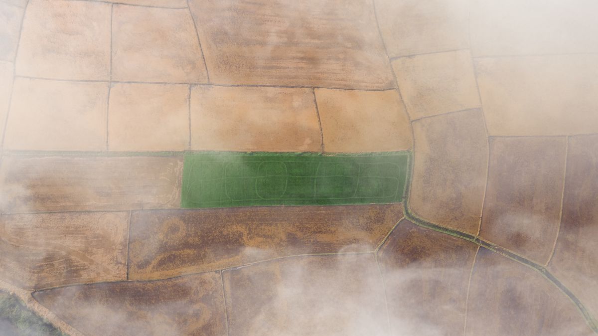
Telangana Land Cover Mapping
Classifying and mapping land cover types across Telangana using satellite imagery and supervised classification techniques.
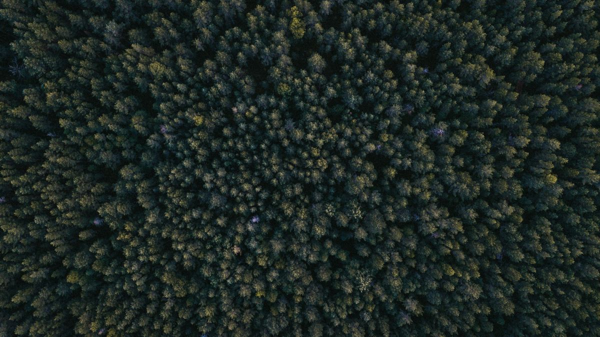
Forest Cover Analysis
Analyzing forest cover extent and changes over time using satellite-derived vegetation indices and time-series analysis.
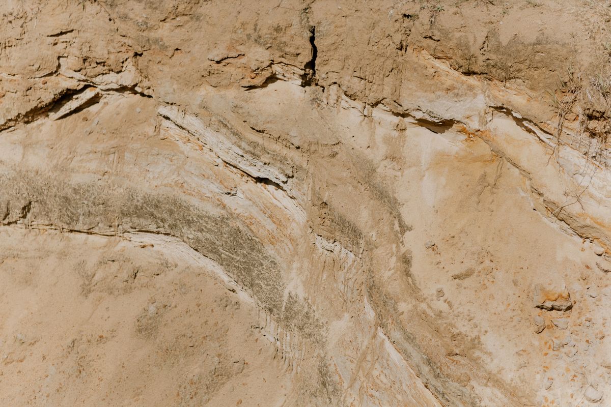
India Soil Types Mapping
Mapping the spatial distribution of soil types across India using GIS data and satellite imagery to support agricultural planning.
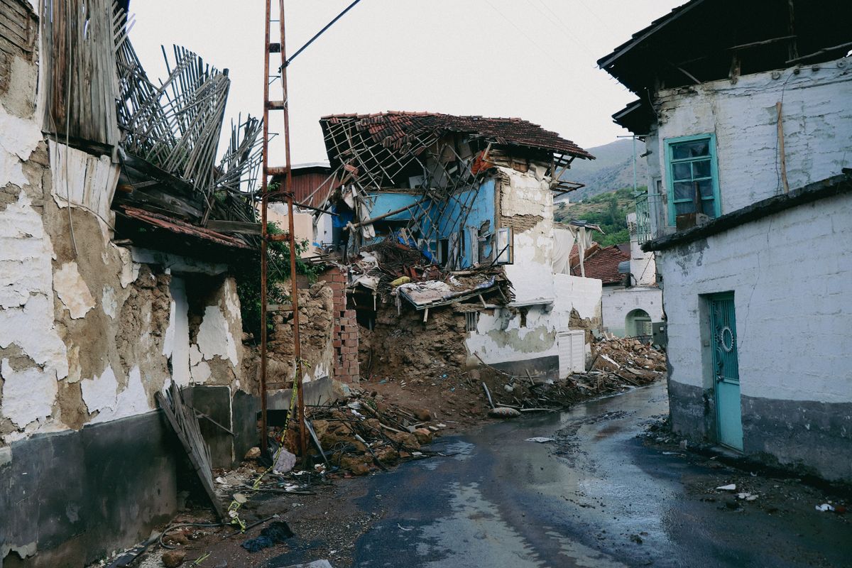
Global Earthquake Analysis
Analyzing global earthquake patterns, magnitudes, and spatial distribution using seismic data and GIS visualization techniques.

Hyderabad Metro Restaurant Density Analysis
Analyzing restaurant density and distribution patterns across Hyderabad metro area using GIS spatial analysis and POI data.